Services
Virtual Tours for Training, Transparency and Stakeholder Engagement
Your partners and high level stakeholders are looking for faster, more convenient and more cost effective ways to access and digest the information your business provides them. The immersive site tour platform we have created provides you with the tools to quickly and efficiently leverage the impressive power of virtual reality.
We put the power of virtual tour creation in site owners’ hands. You get low-cost, high-impact virtual site visits that can be shared from your website, from our app and over webinars and video conference software to hundreds of stakeholders at a time.
Virtual Tour Elements
Deliver a whole new level of understanding of how a site is today and what it will look like in the future by leveraging the impressive power of virtual reality. Combine 360° photos and videos with GIS, 3D models, satellite images and traditional 2D media such as PDFs, photographs and conventional video.

360° videos, photos and timelapses

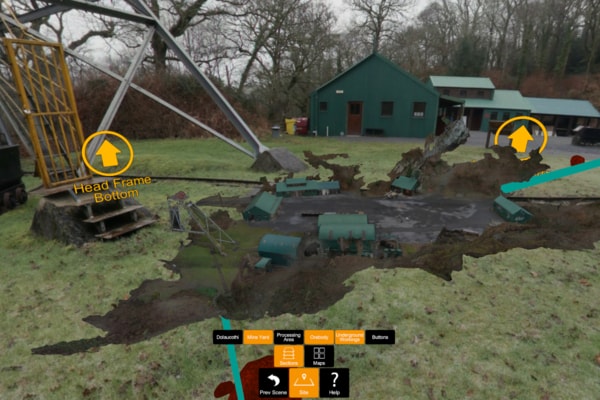
Data-augmented 360° environment

UAV-captured data

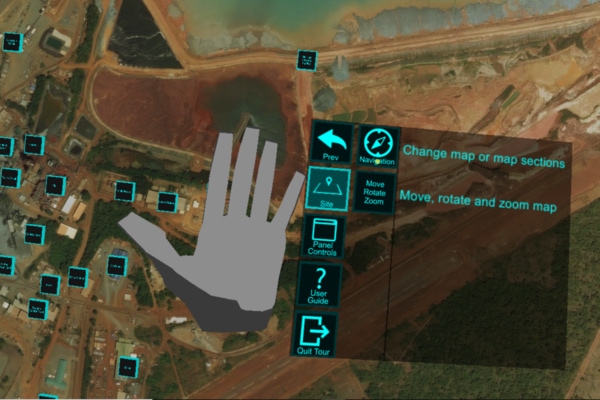
Satellite images

3D objects and technical models

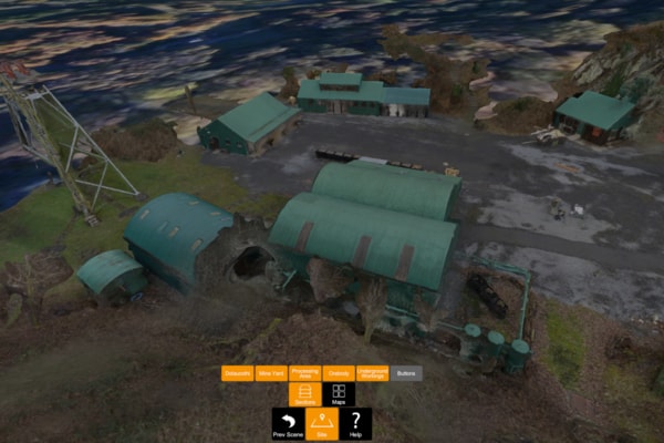
3D models from photogrammetry

Conventional video and photography

PDF and infographics
Interactive
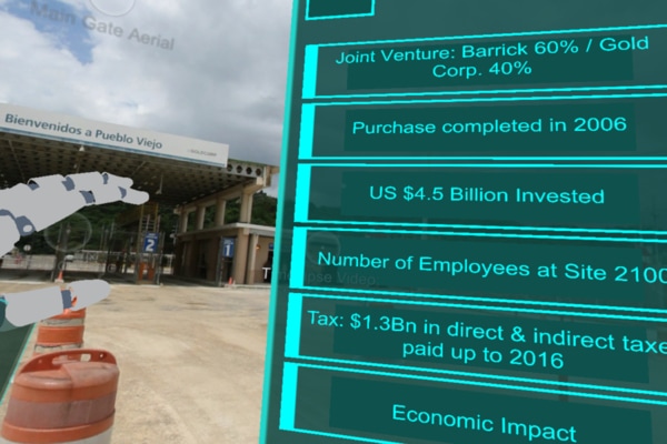
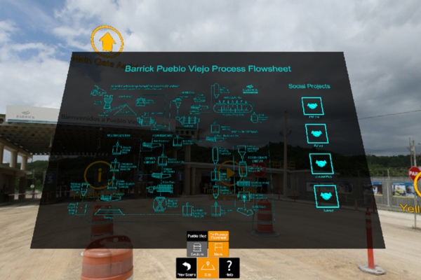
Add interactive and non-interactive infographics, location labels, arrows and lines to indicate features of site designs.
White label
Brand your work with your company logo and profile.
Encrypted and secure
Retain control of who has access to your media through our platform encryption and administrative tools.
Always up to date
Always up-to-date: easily keep your site tour up-to-date with the information you need.
3D Models and Scans
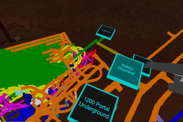
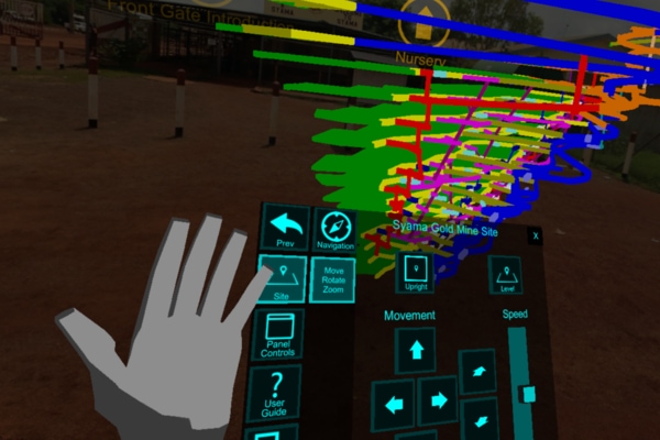
Augment your tour with UAV-harvested, desktop-generated 3D site models to showcase your surface and subsurface infrastructure as well as your geological ore body model.
You can also integrate 3D projections of future underground and surface infrastructure into the tours, providing an immersive understanding of future developments otherwise unavailable during a physical site visit.
CAPTURING YOUR CONTENT
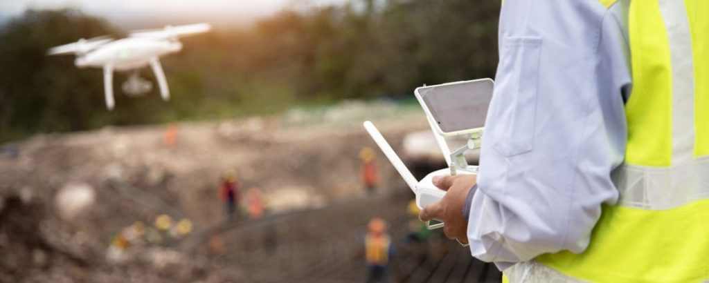
Use your own personnel
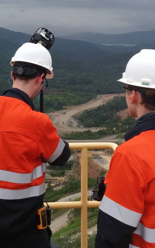
You can use your own personnel to capture the required 360° media from ground and UAV (drone) platforms. We will provide remote assistance and hardware advice as required.
Features
- Remotely supported
- Recommended equipment list
- Video tutorials
- Planning aids
- Reality Check assemble the tour build for you
Benefits
- Fixed low-cost solution
- Simple planning and logistics
- Quick to deploy
- COVID-viable
- Easy to update
- Low carbon
- Local opportunities and job enrichment
Turnkey solution
Leverage our global network of UAV pilots and 360° image capture specialists to efficiently produce a VR tour of your operation to share with the world.
Features
- Everything included in the self-produced tour
- Reality Check deliver 360° video and photo capture
- UAV services available
- Pricing subject to scope of work
Benefits
- Single point of accountability
- Local opportunities and job enrichment
Frequently Asked Questions
We are happy to to work solely on a post-production basis if you prefer to use your own resources to collect the required 360° videos, photos and any other media. We’ll even provide you with best practice and hardware advice if you choose this approach.
Turnaround time for post-production jobs is 2–4 weeks once we receive your media. For turnkey production services, onsite time depends on the size of the site and services you contract us for. As a benchmark, the Dolaucothi demo tour needed one day for 360° media capture and two days for the photogrammetry, which was conducted simultaneously.
Yes, send us additional or replacement media to keep your tour up-to-date at no additional cost and with a rapid turnaround subject to our fair usage policy.
Yes, it is fine to take this approach.
Yes. You retain admin privileges over your tour. Set it to public or private and manage access.
Desktop/laptop versions of the tours can be viewed on PCs running Windows 10. To view a tour in full VR, a VR-ready PC can be used with an Oculus Rift headset and a LEAP motion controller, which are available from Amazon and all good electronics stores.
We will release the product onto an Oculus Quest headset that doesn’t need to connect to a PC in order to deliver VR content (this is in late-stage beta testing.) A “lite” version of your tour will also run on iOS and Android tablets and mobiles via a browser.
Tours are free to view.
Yes, you can. This is done via your company page on our web application.
You can send us 3D models from your existing software packages, such as Deswik, Vulcan, Leapfrog, Arc GIS and SmartPlant.
Reality Check can assist in 3D modelling from UAV photogrammetry via remote data processing of your drone images or as a full turnkey piloting, data collection and processing service.
You do not need to use UAV photogrammetry in your tours. If satellite images from services such as Google Earth are of a sufficiently high resolution, then this might be a more viable alternative.
We can also use CAD files and other 3D models if you have them and turn your site diagrams (such as process flow sheets) into clickable navigation aids.
Yes, you can! We are happy to help your existing UAV pilot plot a suitable flight plan to harvest the data needed, which can then be either processed by you or sent to us for processing into a 3D model.
It is technically possible to live broadcast 360° video over the web. Given the bandwidth constraints at our clients’ remote locations, however, to date it has not been considered viable. Some hardware installation would be needed at site as well. To discuss the possibilities, please get in touch.

